63 CAPTAIN BEARSE LN
Owner Information
MANNIX STEPHEN ET AL
63 CAPTAIN BEARSE LN
HARWICH, MA 02645


Property Details
63 CAPTAIN BEARSE LN is classified as a Single Family Residential (Cape).
The primary structure on this property was built in 1992. There are 2,229ft2 of built area within this property. There is 2,229ft2 of residential/living space within this property. This property is listed as having 7 rooms.
63 CAPTAIN BEARSE LN is valued at $525,300. The land is valued at $181,400 and the structures are valued at $340,800. There is an additional valuation of $3,100 on this property.
The most recent deed for 63 CAPTAIN BEARSE LN is recorded at the local registrar in Book 29163, Page 56. 63 CAPTAIN BEARSE LN was last sold on Friday, September 25, 2015 for $1.
Assessment data from fiscal year 2020.
Flood Data
According to the FEMA National Flood Hazard Layer, this property does not appear to be in a flood zone. It may also be in an area not yet reviewed. Nonetheless, confirm this information prior to taking any action.
To view the flood hazards around this property, create a FEMA "Firmette" Map of the area around 63 CAPTAIN BEARSE LN.
Broadband Internet Providers
| Provider | Type | Bandwidth (mbps) | |
|---|---|---|---|
| HughesNet | Satellite | 25 | 3 |
| Viasat Inc | Satellite | 35 | 3 |
| GCI Communication Corp. | Satellite | 0 | 0 |
| T-Mobile | Fixed Wireless | 25 | 3 |
| Comcast | Cable | 1000 | 35 |
| Verizon New England Inc. | DSL | 5 | 0 |
| VSAT Systems, LLC. | Satellite | 2 | 1 |
Broadband service provider data from December 2020.
Adjacent Properties
- 0 HALLS PTH
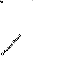
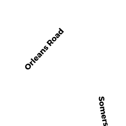
Developable Residential Land owned by HARTIG CHARLES S ESTATE OF ET - 0 ORLEANS RD
Developable Residential Land owned by PORTER ROBERT F - 59 CAPTAIN BEARSE LN
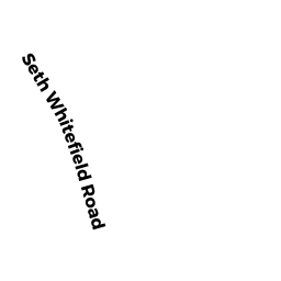
Single Family Residential owned by TRAVERSI JOHN - 0 SETH WHITEFIELD RD
Undevelopable Residential Land owned by HARWICH COMMONS LLC - 67 CAPTAIN BEARSE LN
Single Family Residential owned by LEWIS GEORGE A &